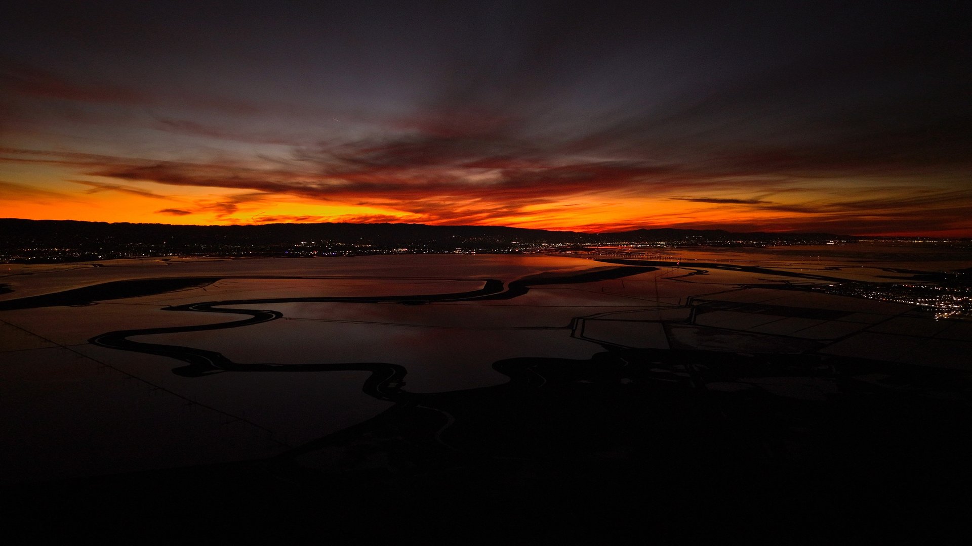
Elevate Your View
Precision aerial imaging tailored for
Stunning property shots from above.
Detailed site surveys with drone accuracy.
Fast, reliable aerial inspections anywhere.


real estate
and more.
with
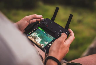
caldrone imaging
Real Estate
Acquire stunning property views that help listings stand out and sell faster.

Detailed aerial inspections and imaging for construction, agriculture, and more.

Industrial
Capture your property’s best angle every time with real estate aerial drone imaging. Are you struggling to make your listings stand out in a crowded market? Standard photos can’t compete with the breathtaking, high-definition aerial views our drone imaging delivers. Showcase homes, land, and commercial spaces like never before—highlight key features, display unique layouts, and attract more buyers with dynamic video and photography.
- Stunning 4K aerial videos and photographs
- Professional editing for maximum impact
- Perfect for residential and commercial properties
- Fast turnaround to keep your listings fresh
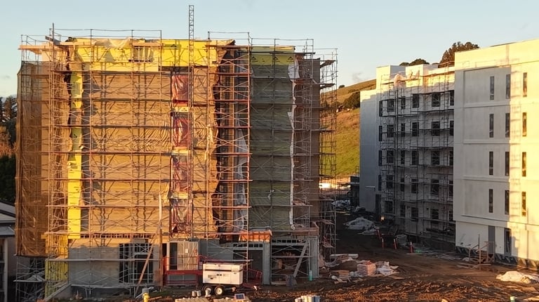
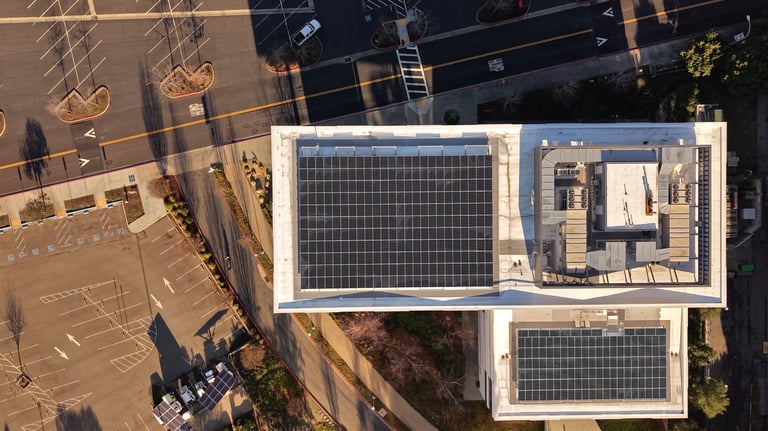
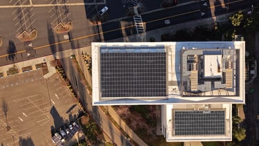
Transform the way you manage construction and inspection projects with advanced aerial drone imaging. Tired of costly delays, safety risks, or incomplete data from traditional site surveys? Drone imaging solution delivers ultra-clear videos, high-resolution photos, and precise 3D mapping with photogrammetry
- Obtain real-time visuals and accurate measurements without setting foot on hazardous terrain
- Comprehensive 3D maps and models identify issues before they escalate—saving time and money
- Detailed photo and video documentation streamlines reporting
About
Caldrone Imaging brings a fresh perspective to real estate and beyond with expert aerial drone services:

•Certified and registered with the FAA
•$2m insurance included (up to $10m on request)
•20+ years of experience in the digital media field
•Constantly growing with today's new tech
•High quality service with a 24-hour delivery
© 2026 All rights reserved.